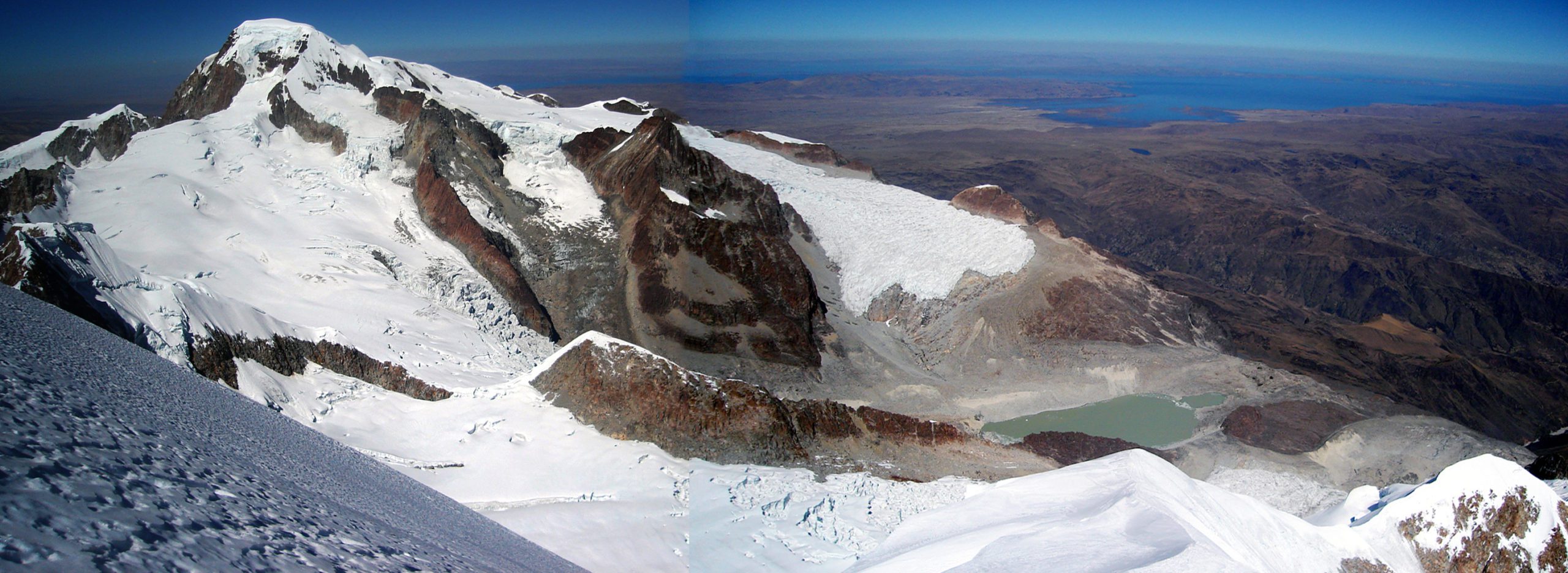
Ancohuma is situated in the northern section of the Cordillera Real, which is part of the Andes, to the east of Lake Titicaca. It is located just south of Illampú, slightly lower in altitude, and close to the city of Sorata. Despite being taller than Illampú, Ancohuma is a less challenging climb, as it has a softer peak.
ITINARARY:
Day 1.- LA PAZ – SORATA.
We will leave La Paz and drive towards the town of Sorata at 2900 m by private vehicle (4 hours ride). This Andean town offers subtropical vegetation and is an interesting contrast to the Illampu massif. We will spend the night in a small hotel in town.
Day 2.- SORATA – LAGUNA CHILLATA. (4.205 m.)
After breakfast, we will head towards the town of Kolani, and then continue the ascent to our first camp at Laguna Chillata (4,204 m). This day will take approximately 6-7 hours of walking.
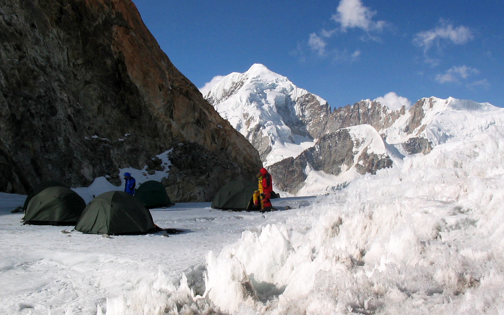
Day 3.- LAGUNA CHILLATA – LAGUNA GLACIAL (5.036 m.).
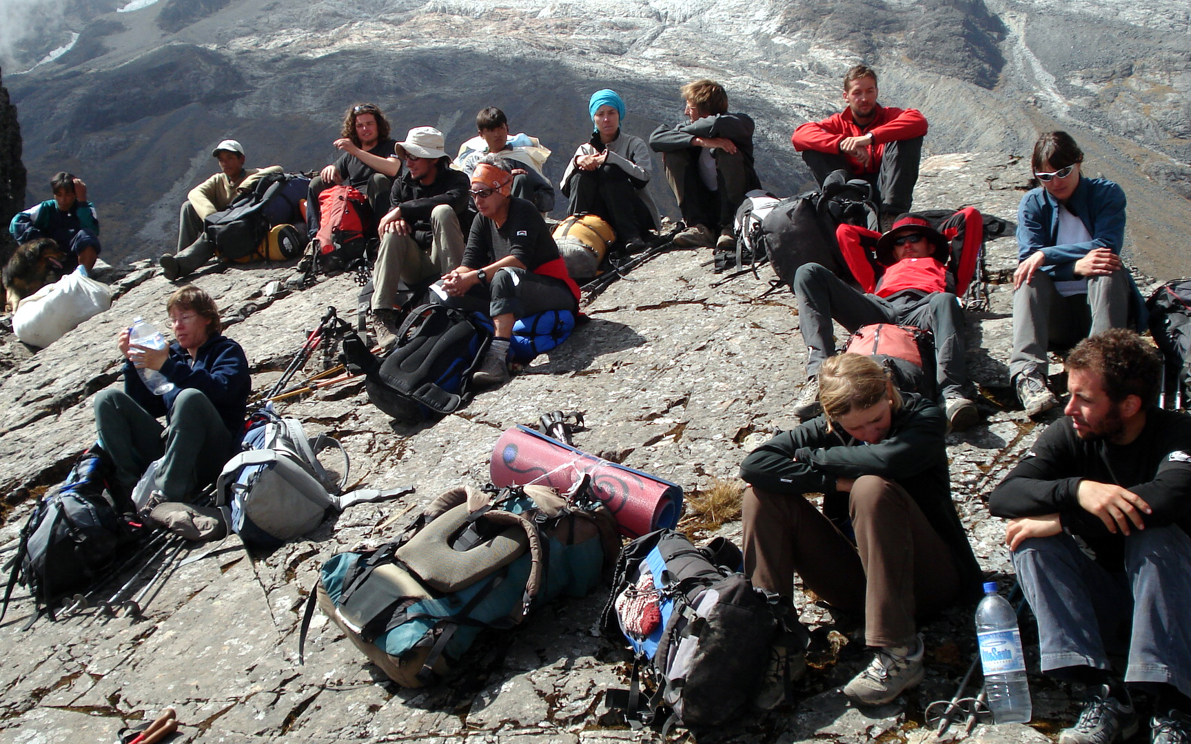
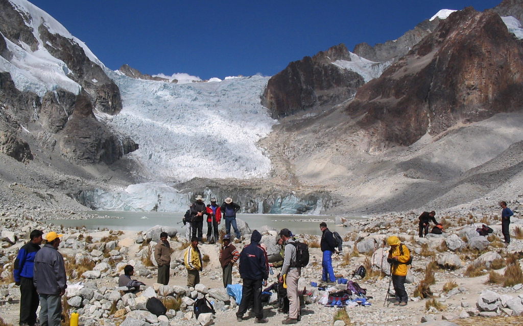
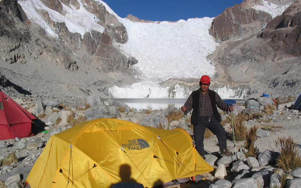
On this day, we passed through the Titisani Pass (4,400 m), continued near some mines and then over moraines and rocky areas until we reached the Glacial Lagoon (5,036 m), where we set up our camp.
Day 4.- LAGUNA GLACIAL – HIGH CAMP (5.600 m.).
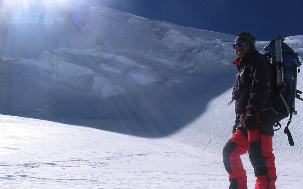
The ascent to the high camp (5,600 m) starts today through a rocky moraine and towards the end of the day will take us to the glacier itself.
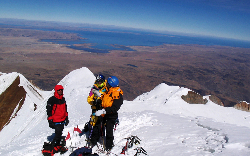
DAY 5.- HIGH CAMP – ANCOHUMA SUMMIT – LAGUNA GLACIAL.
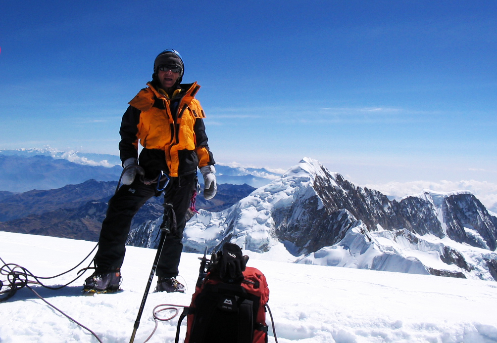
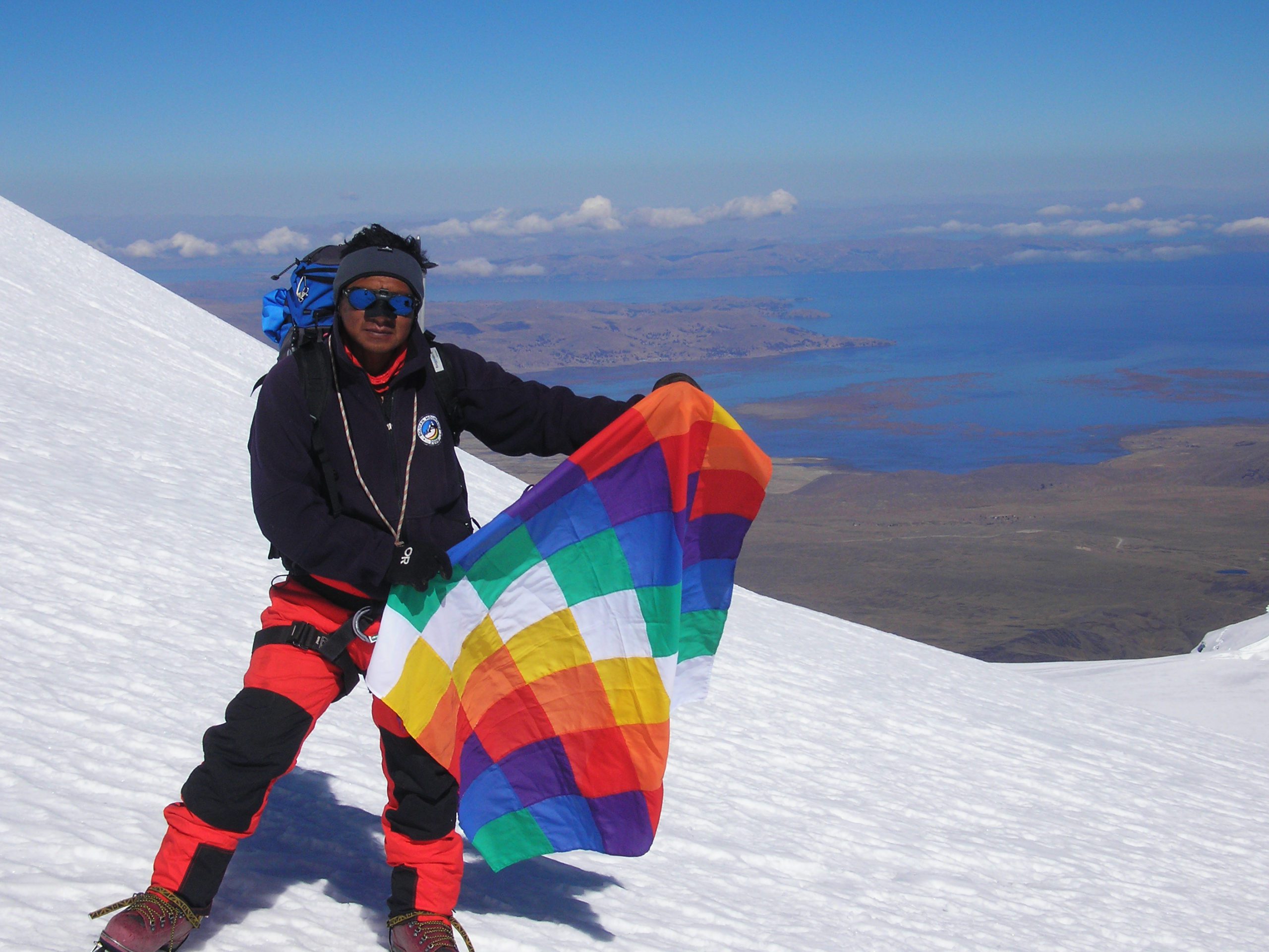
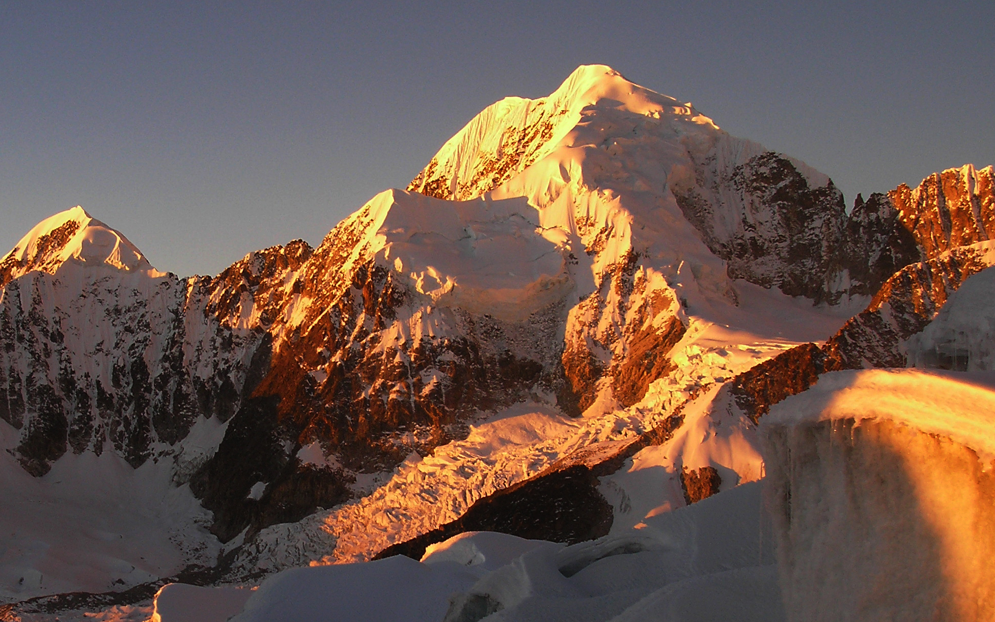
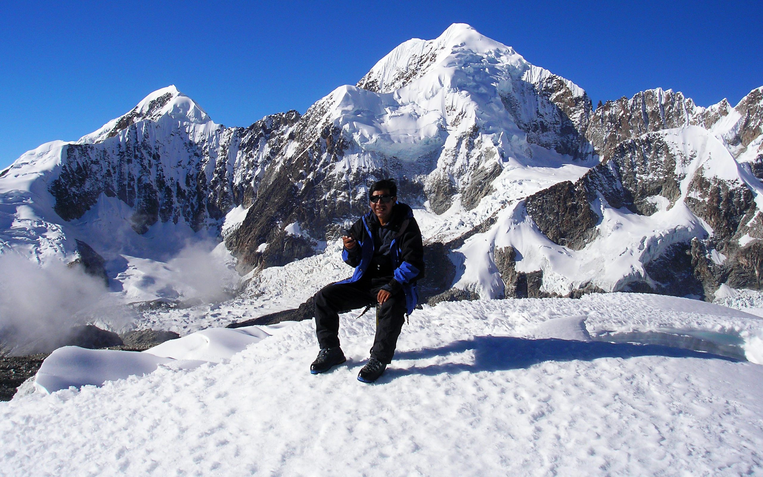
From the high camp, the ascent to the summit of Ancohuma (6,427 m.) is completed in 5 hours. From there we descend to Laguna Glacial by the same route.
Day 6.- LAGUNA GLACIAL – SORATA – LA PAZ.
From the base camp, we will return to the Titisani pass, and finally to the Kolani community, where our vehicle will be waiting to take us back to La Paz.